Geography of Africa: Cake Edition
Lessons just sink in better when there’s cake involved, don’t you think? ;)
During our study of Africa, we made geographical maps of the continent using cakes and frosting. The kids were fans.
We made up the cakes ahead of time and cut them into the shape of Africa.
We also mixed up different colors of frosting for the different geographical regions and major bodies of water.
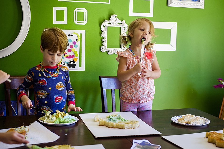
Then the kids got to work.
Well, the older kids got to work. Younger siblings were mainly there just to lick the frosting.
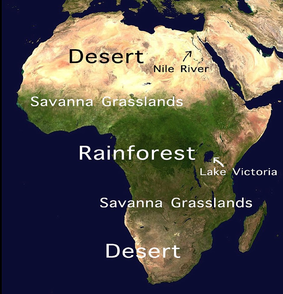
You can get more complex with it, but there are three basic geographical regions to Africa: the desert, the savanna grasslands, and the rainforest. We also labeled the Nile River and Africa’s biggest lake, Lake Victoria.
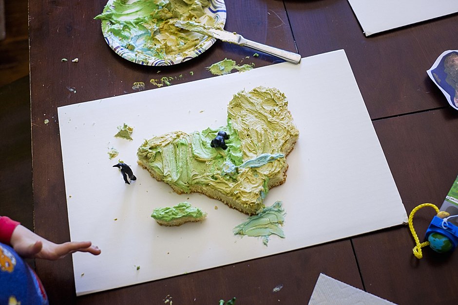
We topped off our cake maps by talking about which animals and insects lived where in Africa. We used the toys from our Safari Ltd Wild TOOB sets (aff link) to illustrate, as well as a few gigantic bugs we had lying around, you know — because bugs are HUGE in Africa. We’re sure of it.
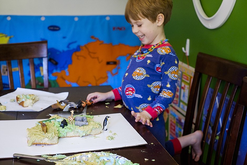
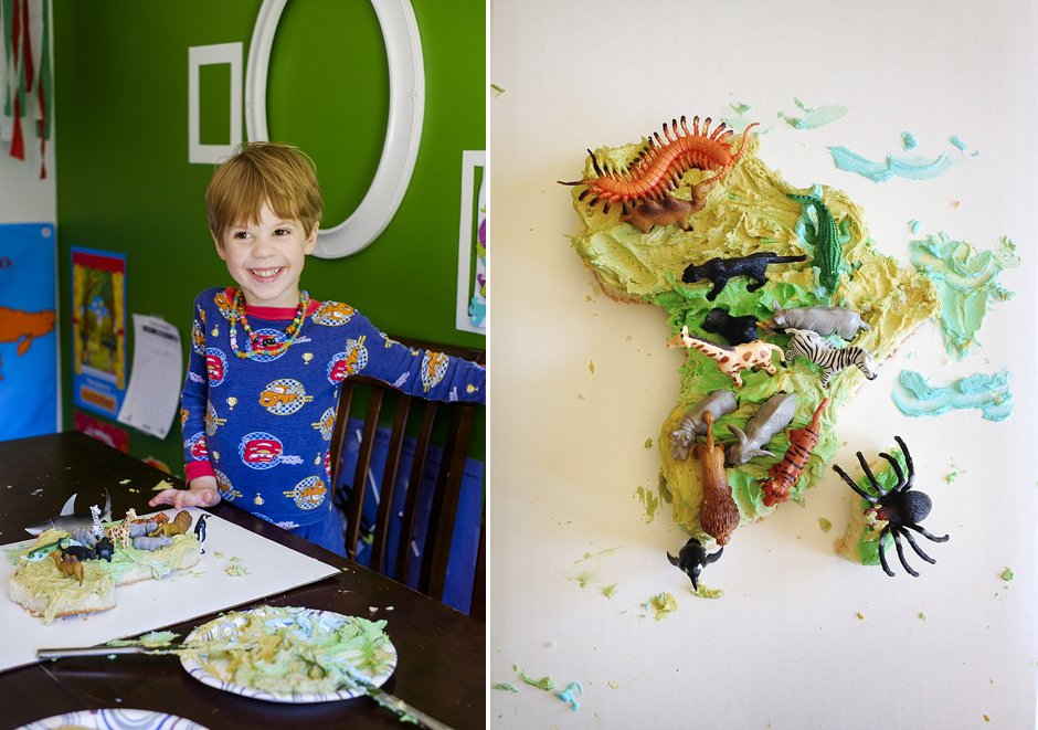
And there you have it. Tasty and educational. It’s our favorite kind of learning. :)

This,is so awesome love it we did this one time with making a cell and all the parts in a cell. We made a cake then all the rest we used candy
Robin, that sounds awesome! We will have to try it when we circle back around to cells! Thanks so much for sharing! :)
I just want to say – I Love all your ideas.
I don’t have such baking skills and I want to order this cake. Where can I order it from?
Thank you so much! I’m not sure where you can order one, but I would imagine any local baker could do it for you if you give them a picture. :)
The cake looks as a great idea for an invitation for a party.